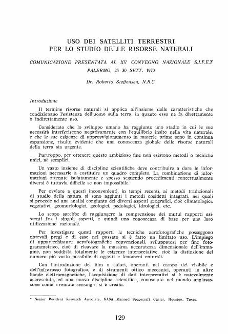
EARTH OBSERVATION SATELLITES FOR THE STUDY OF NATURAL RESOURCES - COMMUNICATION TO THE XV NATIONAL CONFERENCE OF S.I.F.E.T PALERMO, 25-30 SEPT. 1970
Abstract
The term natural resources applies to the set of characteristics that affect the existence of man on earth, as he makes direct or indirect use of them.
Considering that human development has reached a stage where its needs negatively interfere with the balance inherent in natural life, and that its needs for supplying raw materials are constantly expanding, it is evident that a global knowledge of the natural resources of land is urgent.
Unfortunately, there are no single or simple methods or techniques to achieve this ambitious goal.
A broad set of scientific disciplines must contribute to providing the information necessary to build a complete picture. However, the combination of information obtained in isolation and often following conceptually different procedures is difficult if not impossible.
To overcome these drawbacks, in recent times, the so-called integrated methods have been added to the traditional methods of studying nature, in which a joint analysis of the various geographical aspects is carried out, i.e. climatological, vegetative, geomorphological, geological, pedological, hydrological , etc.
The aim would be to achieve an understanding of the mutual relationships existing between the individual aspects, and therefore a basic knowledge for their rational use.
To investigate these relationships, aerial photography techniques have considerable merits and limited use has been made of them in the past. The use of conventional aerial photography equipment, developed for fine photo grammetry, that is to obtain the maximum dimensional accuracy of the image, does not fully satisfy the interpretative needs, that is, the distinction of the largest possible number of objects and ratural phenomena.
With the introduction of color films, operating in the field of visible and photographic infrared, and of mechanical optical instruments, operating in other electromagnetic bands, the acquisition of earth surface data has considerably increased, and a new scientific discipline, known as "remote sensing".
(this text was translated from text that was extracted automatically with OCR Tesseract)
Downloads

Downloads
Published
How to Cite
Issue
Section
License
Copyright (c) 1970 Autori Vari

This work is licensed under a Creative Commons Attribution-ShareAlike 4.0 International License.


