Monitoring of a marble quarry with UAV photogrammetry
Keywords:
Strucure from Motion, marble quarry, metric accuracy, monitoring, volumes calculationAbstract
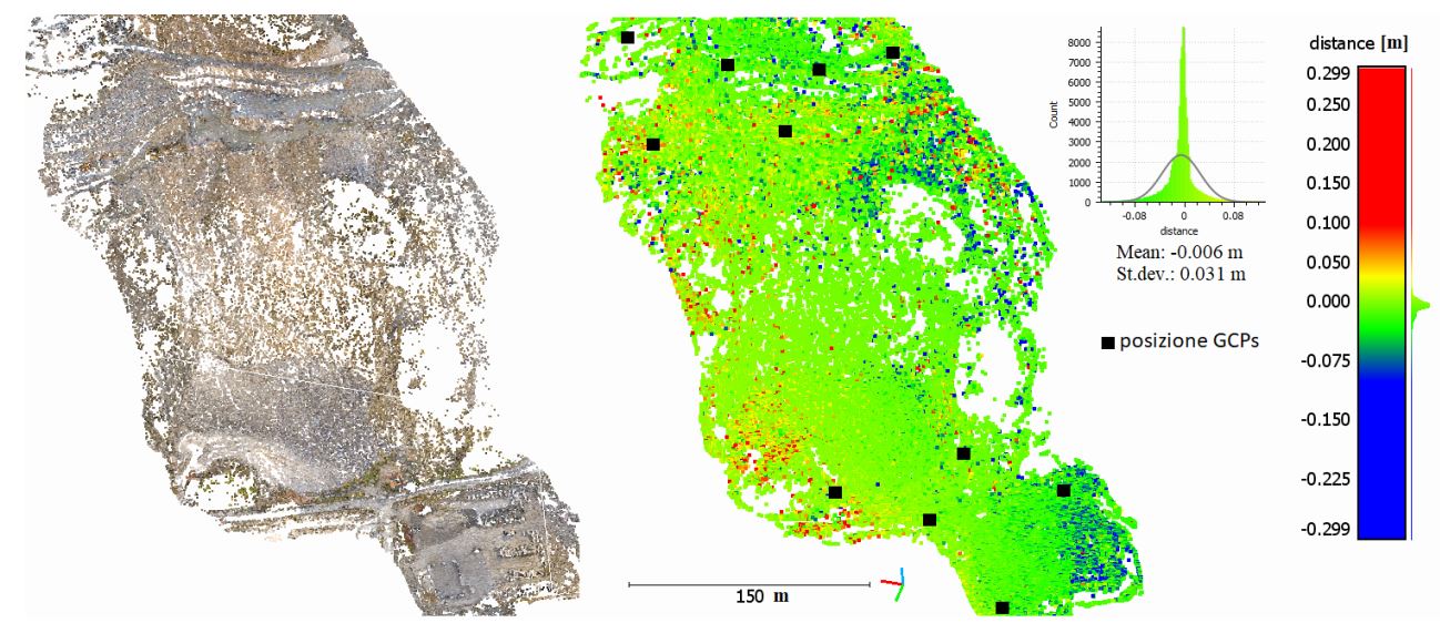
UAV photogrammetry allows to survey hostile environments, such as quarries, fast and in safety conditions and to create detailed
and accurate products that can improve the management of the activities and the monitoring of quarried materials. The case study is a
marble quarry in the district of Carrara, this environment can be hardly surveyed with traditional techniques because of its size,
morphological characteristics and specificity. The study focuses on the analysis of multitemporal data collected during a UAV flight
performed for professional purposes, potentiality of the methodology, some strategies and critical issues are discussed too.
Furthermore, some of the most useful products in the description of this environment are shown: orthophotos, maps, slopes, fracture
lines, volume analysis and calculations.
Downloads

Downloads
Published
How to Cite
Issue
Section
License

This work is licensed under a Creative Commons Attribution-ShareAlike 4.0 International License.


