HBIM from point clouds: metric accuracy and results assessment
Keywords:
HBIM, Point clouds, integrated survey, UAV, TLSAbstract
The technological innovation of the last few years, which has involved the architectural, engineering and construction sectors, has
allowed to develop and test new significant methodologies to support the management of the existing building heritage.
Within this contribution, some integrated survey methodologies such as terrestrial and aerial photogrammetry through UAV
(Unmanned Aerial Vehicles) and terrestrial laser scanner technique for the construction of three-dimensional architectural models
are described. The objective of this research is therefore connected, starting from the geo-referenced point clouds, to the definition of
geometries and parametric components in three-dimensional object-oriented models such as the HBIM (Historical Building
Information Modeling).
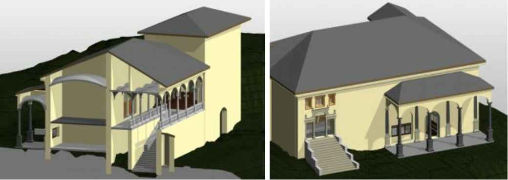
The case study of the Sacro Monte di Varallo (VC), a devotional complex of the fifteenth century declared World Heritage Site in
2003, provides here the test field for the application of this methodology and for the subsequent analysis and evaluation of the data
of the parametric model realized. This comparison is carried out by evaluating the deviation of the geometries constructed in the
HBIM model from the point cloud, used here as reference data.
The check of the results has been carried out by subdividing the building into architectural components and carrying out the
deviation analysis on each of them. Specifically, on the walls characterized by a strong taper, on the roofs realized with different
software, on the vaulted elements of difficult construction, on the stairways, columns and balustrades, highlighting how we can
achieve good results of approximation of the geometries, albeit still with some limits due to the historical nature of the case study.
Downloads

Downloads
Published
How to Cite
Issue
Section
License

This work is licensed under a Creative Commons Attribution-ShareAlike 4.0 International License.


