UAV-based photogrammetry for visual inspection and automatic detection of defects on the gravity dam surface
Keywords:
Visual inspection, UAVs photogrammetry, GIS, dam, low-cost sensors, automation, remote sensingAbstract
In this paper, the implementation of a solution based on the automatic analysis of data extracted from a photogrammetric survey has
been described. This activity is connected to the new type of industry “4.0” consolidated in recent years, indicating a trend towards
the automation of industrial processes with the introduction of new technologies to support the production of different services and
goods. A low-cost UAV system was used to carry out the presented activity and, in the following sections, all the analyses involved
in the planning of data acquisition phase, their management in the workflow and their processing in a geographical information
system (GIS). During the acquisition phase in the field, different types of data were acquired, using various techniques: 4K video
recording and high-resolution image acquisition. The test presented was performed on the Serrù dam, a structure located in Ceresole
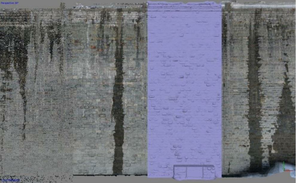
Reale, near Turin, Piedmont (Italy). A three-dimensional model of the dam was made, on which a check of the state of conservation
and integrity relative to the upstream walls was carried out.
Downloads

Downloads
Published
How to Cite
Issue
Section
License

This work is licensed under a Creative Commons Attribution-ShareAlike 4.0 International License.


