Analysis of multispectral images for the evaluation and planning of urban green
Keywords:
Remote sensing, VHR multispectral images, NDVI, urban canopy coverAbstract
For a long time the role of urban green has been trivialized as a simple ornamental and accessory element of the cities.
Currently, several studies and researches all over the world took in consideration the values of urban green as a resource that offers a
wide variety of responses to human needs. Trees and green spaces help to clean to the air by removing pollutants during the
transpiration process; they can reduce the urban heat island effect, lowering the perceived temperatures by shading and heat
mitigation; moreover, in wider terms, they can contribute mitigating the environmental impact of the city on the territory. Proper
planning and management of the green area is essential to preserve the ecological functions of nature in the city, therefore, the
quantifiable information on the availability, distribution and monitoring of green areas are essential and necessary to achieve this
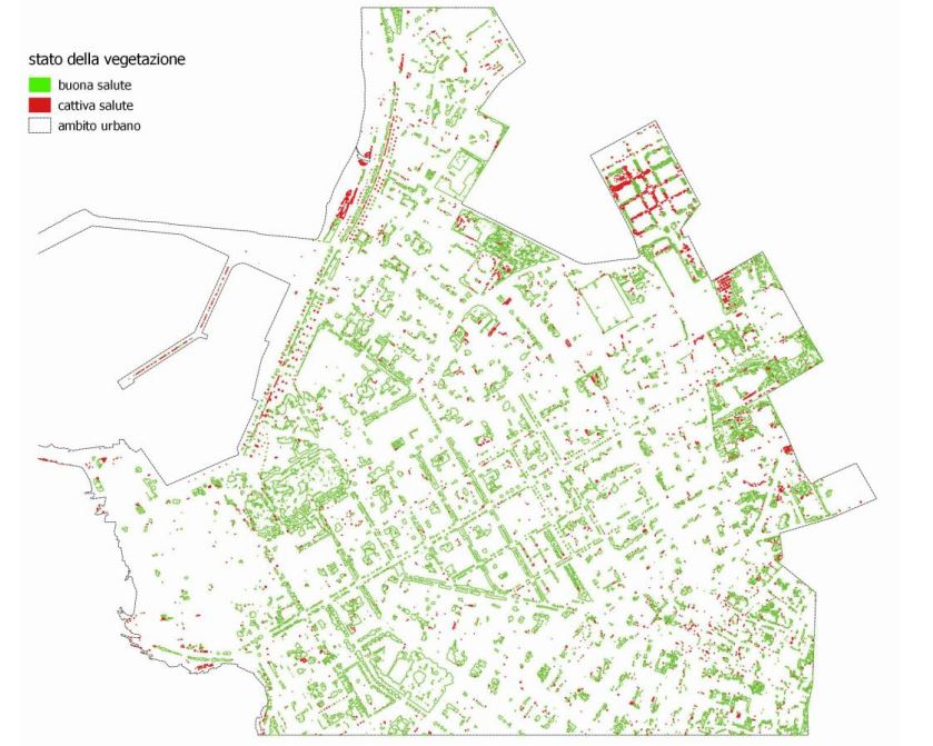
goal. To this end, this work, by using techniques of acquisition and analysis of multispectral images, increasingly integrated in GIS,
proposes an alternative approach to mapping of urban canopy cover, applied in a sample area of the Alghero city center. The
application of the method makes use of the calculation of the Normalized Difference Vegetation Index (NDVI), which by recording
the high spectral response of the chlorophyll, consequently allows the precise localization and quantification of the vital content of
the vegetation.
Downloads

Downloads
Published
How to Cite
Issue
Section
License

This work is licensed under a Creative Commons Attribution-ShareAlike 4.0 International License.


