Monitoring of strategic structures using satellite techniques: the case study of “Castello dam on Magazzolo reservoir”
Keywords:
embankment dam, deformations, water level, GNSS, SAR, Landsat images, ASTERAbstract
Global Navigation Satellite System (GNSS) and remote sensing have been used to determine the relation between deformations of an
embankment dam and water surface and level, during one year. The use of a reference station positioned on the dam crest and a
permanent station recording data continuously (24h), allowed the displacements monitoring during the whole period, referred to the
dam local coordinate system. Thus, the dam orthogonal deformation component and hydraulic forces have been compared. Remote
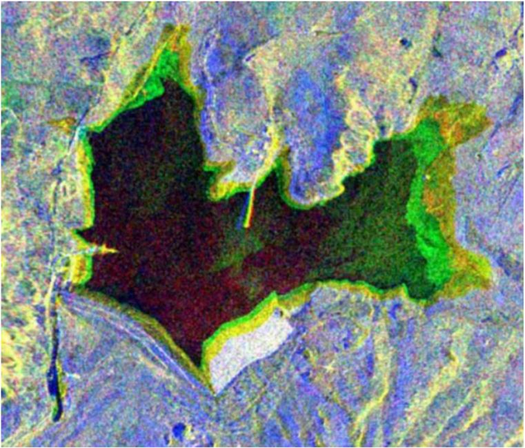
sensing allowed monitoring the water level using several images (optical and Synthetic Aperture Radar, SAR) characterized by
different geometric and spectral resolutions, using two different techniques. The first is based on unsupervised classification to
automatize the process, the other one is based on visual interpretation with overlapping contour lines on the water reservoir boundary.
Their assessments have been evaluated by comparing remote sensing water level estimations with measurements in situ. Displacements
orthogonal to the dam, referred to the reservoir monitoring period have been also compared with in situ water level measurements and
evaluated results from remote sensing methods. The relationship between displacements and water levels has been proved to be non-
linear.
Downloads
Downloads
Published
How to Cite
Issue
Section
License

This work is licensed under a Creative Commons Attribution-ShareAlike 4.0 International License.

