Glaciers surface velocity field monitoring using Sentinel-1 SAR data: methodology definition and software implementation
Keywords:
Sentinel-1, glacier monitoring, Offset-tracking, surface velocity, Baltoro, San RafaelAbstract
Glaciers are among the most reliable indicators of climate change at local and global scale and many studies on the glaciers dynamics
have been carried out. Nowadays, the World Glacier Monitoring Service in collaboration with the Global Land Ice Measurements
from Space, collects observations on time changes in mass, volume, area and length of glaciers. Among the parameters used for
glacier monitoring, the glaciers surface velocity plays a crucial role, since it influences the events connected to glaciers changes. The
aim of this work was to present a new Free and Open Source software developed at the Geodesy and Geomatic Division of the
University of Roma Sapienza, based on a innovative methodology for glacier surface velocity fields computing, using Sentinel-1A
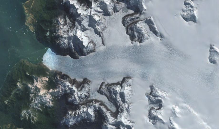
SAR amplitude imagery. Several tests have been performed using Sentinel-1 imagery acquired over the Karakoram mountain (North
Pakistan) and the Northen Patagonian Ice Field (Chile) in order to highlight the behaviour of different glaciers also the seasonal
fluctuations. To estimate the glacier surface displacement, it has chosen to implement Intensity Offset-tracking technique, well tested
and reliable method as testified by the numerous existing applications and based on template matching procedure obtaining results
coherent with previous studies. The results presented in this work are coherent to those obtained in previous studies and confirm that
SAR Off-set tracking is an effective method to obtain glacier surface velocity and highlight that it is possible to have a continuous
update of the glacier surface velocity field through free Sentinel-1 imagery.
Downloads
Downloads
Published
How to Cite
Issue
Section
License

This work is licensed under a Creative Commons Attribution-ShareAlike 4.0 International License.

