Limits and potentialities of open source elevation models
Keywords:
Digital Elevation Model, GPS, ASTER, SRTM, interpolation methodAbstract
Digital Elevation Models (DEMs), or more specifically the Digital Terrain Models (DTMs), form a very important information layer
especially in the case of engineering-environmental applications.
The overall figure for this type of application is always the one that is used to control natural phenomena that are not always limited
to well-defined administrative boundaries. We have at our disposal, thanks to the Open Data Act (Directive 2013/37 / EU), a series of
elevation models easily available and usable with different licensing types and different coverage degrees. The purpose of the following
work is to evaluate the quality of open source DEMs to identify its limits and potentialities. To do this, two different levels of analysis
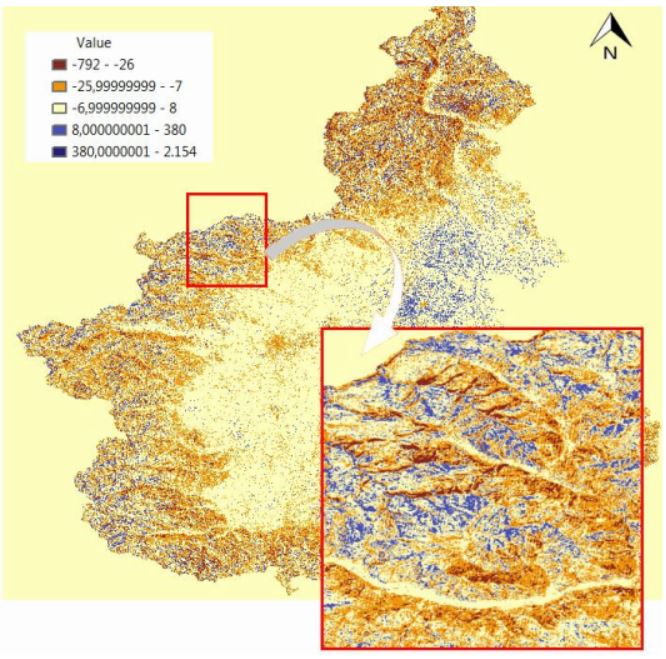
are conducted. On one hand, three DEMs (ASTER, SRTM, DEM ISPRA) were selected and compared with a DEM reference (DTM
region Piedmont). On the other hand, a thorough analysis was made along a route, taking as reference GPS points. Altitude profile
analysis and the comparison with the reference DEM show the size of the errors found on the various DEMs, highlighting the
differences between declared quality and effective quality in certain areas, and allow to assess the potential of a given data for a territory
which goes beyond the strictly regional scope.
Downloads
Downloads
Published
How to Cite
Issue
Section
License

This work is licensed under a Creative Commons Attribution-ShareAlike 4.0 International License.

