Interactive WebGIS for treatment of DTM on web
Keywords:
DTM, WEBGIS, WPS, ZOO-PROJECTAbstract
In recent years, the increase of digital technologies and the availability of advanced GIS tools have facilitated the creation of digital
models of more and more precise ground.
The recent development of Web 2.0 and technologies for storing information in the cloud, and the obligation to comply with EU
regulations, are pushing governments to the adoption of interactive WebGIS.
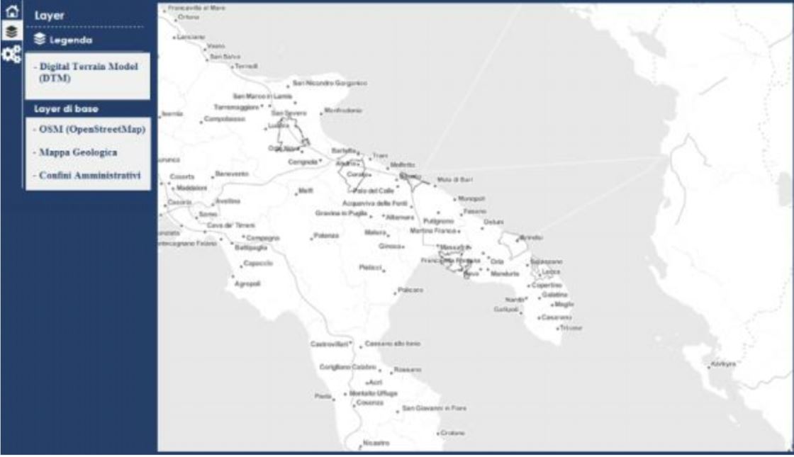
This paper describes a WebGIS implemented with open-source software, with the aim of allowing users to make web-based
operations on the digital terrain models (DTM) without that users must download software or high-performance computers.
From a technological point of view, the system consists of a server component implemented using Zoo-Project and Geoserver, which
manages the different OGC services, and a client part, based on HTML5, CSS and Openlayers, in order to make intuitive and easy
access to the various functions by the user.
To verify the robustness, quality and system performance have been carried out of the load test which showed the good quality of the
application but at the same time a gradual reduction in performance with increasing size of the area of interest and the number users
sending requests simultaneously.
Downloads
Downloads
Published
How to Cite
Issue
Section
License

This work is licensed under a Creative Commons Attribution-ShareAlike 4.0 International License.

