Empirical modelling of the accuracy of volumes computed from UAS surveys
Keywords:
Photogrammetry, DSM Validation, Empirical covariance, Volumes, UASAbstract
The survey of medium extension areas, where a three-dimensional digital surface model is required for environmental applications is
increasingly performed by means of UAS photogrammetry. The use of this kind of technique is due to its fasten and cheapness,
compared to traditional surveying techniques, terrestrial laser scanner or traditional photogrammetry. In the last years, a lot of
software packages specialized in UAS photogrammetry have been released. They implement techniques coming from Structure for
Motion, which combines the rigorous mathematical models of classical photogrammetry with the high level of automation and
matching techniques typically of Computer Vision. These software packages do not usually provide any information about the
accuracy of the computed DSM. The work presented in this paper aims to empirically model this error, by using a set of validation
points measured with an alternative surveying method to recover the empirical covariance of the field of differences. Furthermore, it
is shown how it is possible to propagate the estimation error of two DSM in the calculation of volumes from them. Finally, the
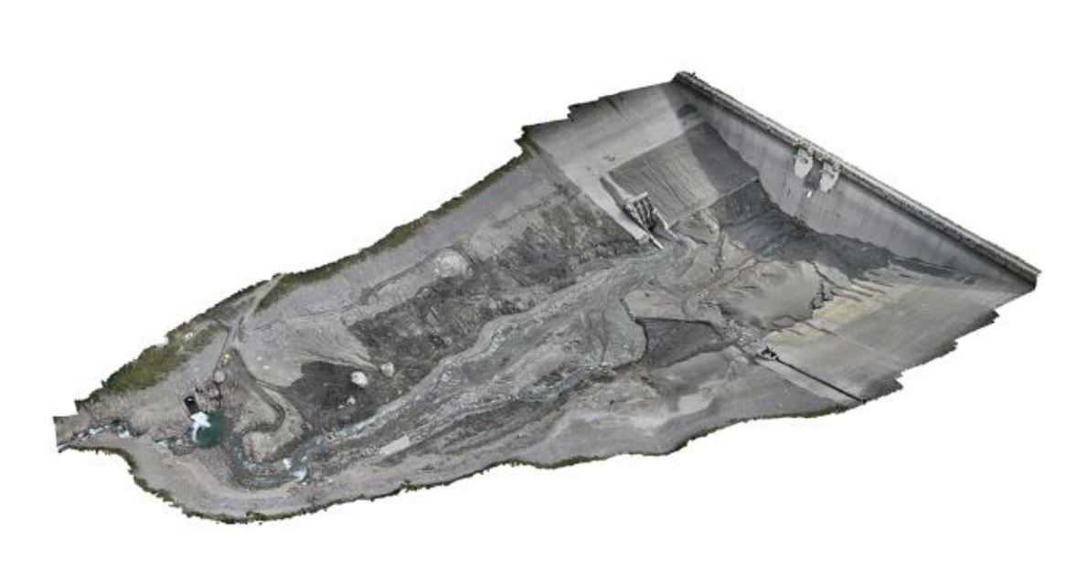
method is tested in a real case study where the volume of sediment removed from the bottom of a reservoir has been computed,
comparing the DSMs reckoned from two UAS photogrammetric surveys, before and after the mechanical removal of sediments. The
results demonstrate that modelling the covariance between the cells of the DSM is fundamental to correctly evaluate the error of the
estimated volume, as well as the great accuracy that can be reached by UAS surveys, obtaining a standard deviation of about 1% of
the total estimated volume.
Downloads

Downloads
Published
How to Cite
Issue
Section
License

This work is licensed under a Creative Commons Attribution-ShareAlike 4.0 International License.


