Definition of altimetry networks in the autonomous province of Bolzano
Keywords:
levelling of high precision, gravity measurements, geopotential, normal heightsAbstract
The Italian Military Geographical Institute (IGM) is promoting the project of complete remeasurement and densification of the
national high precision levelling network since 1997. The Autonomous Administration of the province of South Tyrol, through its
41st Department, stepped in to cooperate on this project to accelerate the determination of the levelling lines inside its own territory.
The measurement operations were carried out by the land surveyors of the local Administration of South Tyrol under the supervision
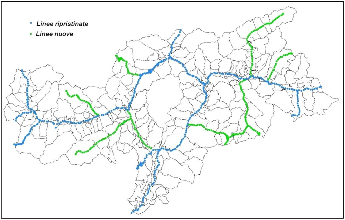
of the staff of the IGM. Within only five years it was possible to restore and remeasure all existing high precision levelling lines in
the territory of the province, and to realize a considerable densification of the network with new lines in the secondary valleys,
achieving over 700 km of geometric levelling.
At the same time relative gravity measurements were carried out with an accurate method which provided the determination of a
main network starting from absolute gravity stations. The main network was used to measure the gravity at all of the more than 700
levelling benchmarks. The obtained gravity values enabled the computation of the geopotential numbers and normal heights of all
the benchmarks in prevision of adopting the European vertical reference system.
Downloads

Downloads
Published
How to Cite
Issue
Section
License

This work is licensed under a Creative Commons Attribution-ShareAlike 4.0 International License.


