Geomatic solutions for the rapid mapping of natural hazards
Keywords:
Rapid Mapping, emergency, efficiency, time, platform, sensor, airborne, UAVAbstract
Natural hazards demand a rapid surveying of the crisis situation by means of Geomatics platforms, sensors and techniques. Remote
sensing can provide a valuable source of broad scale information at each stage of the disaster management cycle, supporting
scientists and authorities in the decision-making process. Geomatics-based procedures and techniques can be especially exploited in
the emergency mapping domain for the extraction of reference (pre-event) and crisis (post-event) geographic data. This research
work provides a review of the current state-of-the-art of remote sensing techniques (platforms, sensors and commercial solutions) for
rapid mapping applications. Advantages and disadvantages are discussed in order to support the selection process of the most
appropriate means to gather the required information (i.e. significant and value-added data). Since valuable information should be
delivered in a very short time span, the management of time is defined as a priority and several solutions are discussed to pursue
efficiency in both data acquisition and processing. With this in mind, the most significant issues affecting time in each step of the
workflow are analysed and possible methods to shorten it are proposed. In particular, guidelines and best practices in time
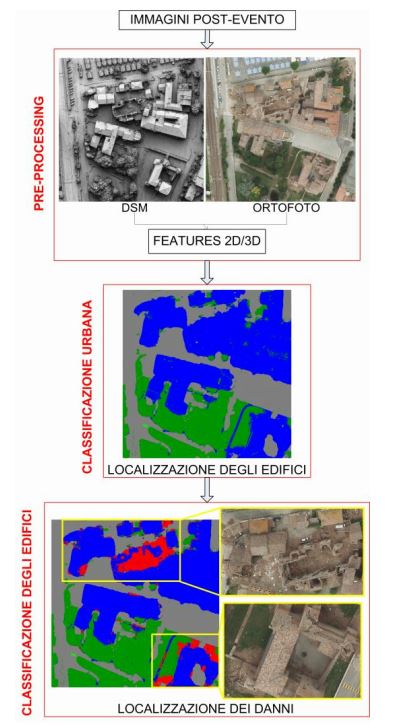
management are retrieved from two case studies within the airborne and UAV (Unmanned Aerial Vehicle)-based mapping field.
Finally, attention is focused on the RapidMap project (rapidmap.fbk.eu) that built up a network of international research centres to
address near real-time monitoring, change detection, mapping and data co-registration in case of hazards events.
Downloads

Downloads
Published
How to Cite
Issue
Section
License

This work is licensed under a Creative Commons Attribution-ShareAlike 4.0 International License.


