Imaging methods for sea surface 3D modeling
Keywords:
Computer vision, digital photogrammetry, 3D modeling, sea surface, sea wavesAbstract
As part of a larger trial in collaboration with NOEL (Natural Ocean Engineering Laboratory) of Civil, Energy, Environmental and
Materials Engineering Department (DICEAM) of the Mediterranea University of Reggio Calabria, the Geomatics laboratory has
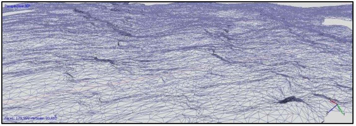
produced a first reconstruction of a 3D metric model, by points cloud, of the sea surface at a fixed time, using “low cost” imaging
methods. The pairs of digital images, taken synchronously, have been processed using the commercial software Agisoft PhotoScan.
The test was conducted on a stretch of sea facing the promenade of Reggio Calabria and it has obtained wave height values compatible
with the weather and sea conditions encountered during shooting. In order to validate and analyse the results, the model was compared
with another model, obtained by rigorous photogrammetric techniques using three camcorders, methods already known in the literature
and algorithms in open software. In spite of good results of “low cost” method, in accuracy values too, further improvements are
necessary by combining the use of more software (also developed in-house) and optimising the synchronization of the shots.Moreover,
laboratory team is working on a system capable of time-continuous sea surface 3D modeling.
Downloads

Downloads
Published
How to Cite
Issue
Section
License

This work is licensed under a Creative Commons Attribution-ShareAlike 4.0 International License.


