The smartphone use for positioning through 3D LiDAR and digital photogrammetry
Keywords:
positioning, smartphone, SIFT, low cost, augmented realityAbstract
In recent years, the knowledge and the sharing of our location are becoming increasingly important for the active involvement of the
users in the exchange of information and data.
Today most of the users are equipped with a smartphone, a device that allows to get location informations (mainly through GNSS
systems), the attitude and the orientation (through the sensors such as accelerometers, magnetometers and gyroscopes).
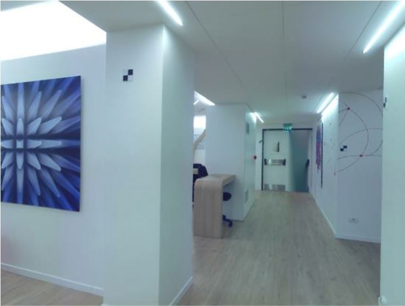
However, the positioning in densely built urban environments and indoor applications sometimes cannot provide a solution because
the signals from satellites are very poor.
In this scenario, the methodology of image based positioning (IBP) is proposed, whose aim is to use the smartphone images to get a
position estimation. The proposed procedure has been tested both in indoor and outdoor scenario getting some decimeters of
positioning accuracy in most of the cases.
Downloads
Downloads
Published
How to Cite
Issue
Section
License

This work is licensed under a Creative Commons Attribution-ShareAlike 4.0 International License.

