DIsaster RECovery Team (DIRECT): training and activities of the student team of Politecnico di Torino for the emergency management
Keywords:
education, crisis management, crisis mapper, UAV, GNSS, smartphone, GISAbstract
During emergencies, Geomatics is an element of fundamental importance in providing metric data from which derive georeferenced
information that optimize the different stages of intervention in the management of these events. Over the last few years has been
elaborated a project, which aims at the training and developing of skills in the field of acquisition, integration and real-time sharing
of spatial data derived from air and ground platforms, finalized to the documentation of the environmental heritage and built, hit by
catastrophic events. The project is aimed at students of different backgrounds and from various areas of training from engineering
and architecture, and at the creation of a team of volunteers who have the necessary knowledge to face, rapidly and with unfavorable
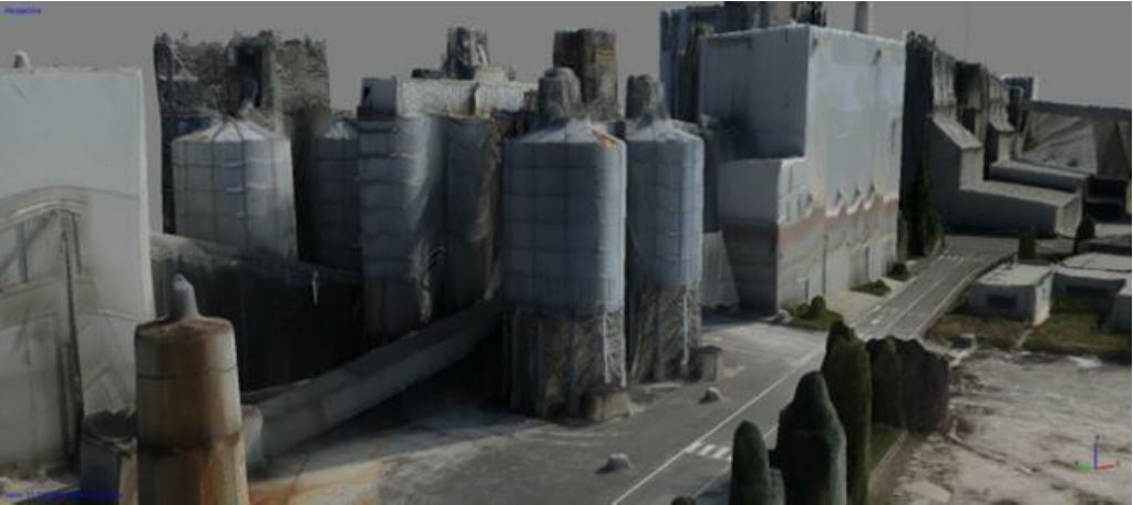
conditions, a possible emergency. Training activities, proposed below, are divided into several stages involving a pre-training in the
use of new survey technologies, a phase of experimentation of spatial data acquisition, even in emergency situations simulated, and
the final processing of data in the laboratory.
Downloads

Downloads
Published
How to Cite
Issue
Section
License

This work is licensed under a Creative Commons Attribution-ShareAlike 4.0 International License.


