Photogrammetric navigation with low-cost sensors
Keywords:
Outdoor, Indoor, Navigation, Photogrammetry, Kinect, GNSS, low-cost, depth mapsAbstract
Nowadays, devices and applications that require navigation solutions are continuously growing. For instance, consider the increasing
spread of applications based on users’ location. In some case it could be sufficient an approximate solution, but often a decimetric
solution is required.
The navigation problem has been solved from a long time using GNSS. However, it can be unless in obstructed areas, such as in
urban areas or inside buildings. Photogrammetry, assisted using additional information, represents an interesting low-cost solution.
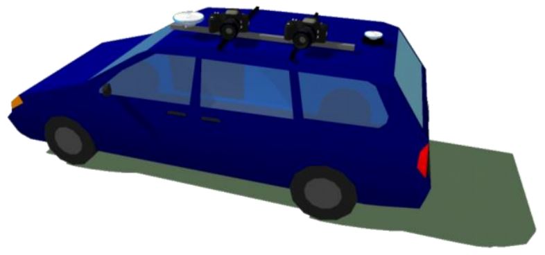
In this paper, the use of assisted photogrammetry has been tested for both outdoor and indoor scenarios. The problem of outdoor
navigation has been faced developing a positioning system based on photogrammetry, using Ground Control Points extracted from
urban maps as constrain and tie points automatically extracted from the images acquired during the survey. The proposed approach
has been tested under different scenarios, recovering the followed trajectory with an accuracy of 0.20 m. This result has been
improved up to 0.15 m integrating within the solution also some GNSS pseudo-observations.
For indoor navigation a solution has been thought to integrate the data delivered by Microsoft Kinect, by identifying interesting
features on the RGB images and re-projecting them on the point clouds generated from the delivered depth maps. Then, these points
have been used to estimate the roto-translation matrices between subsequent point clouds and, consequently, to recover the trajectory
with about 0.05 m of error.
Downloads
Downloads
Published
How to Cite
Issue
Section
License

This work is licensed under a Creative Commons Attribution-ShareAlike 4.0 International License.

