A 2D/3D geographic data model for urban and regional planning
Keywords:
3D digital map, urban and regional planning, geomatics, GIS, urban and territorial analysisAbstract
This paper is aimed to set out the basic elements for structuring a 2D/3D geographic data model to assist the activities of urban and
regional planning. Traditionally, two-dimensional technical maps have represented the basis for the preparation of thematic,
analytical and planning maps, necessary for the preparation of urban and regional plans. In the light of the latest developments in
information technology, engineering, geomatics and GIS, spatial planning is becoming increasingly interested to the analysis of
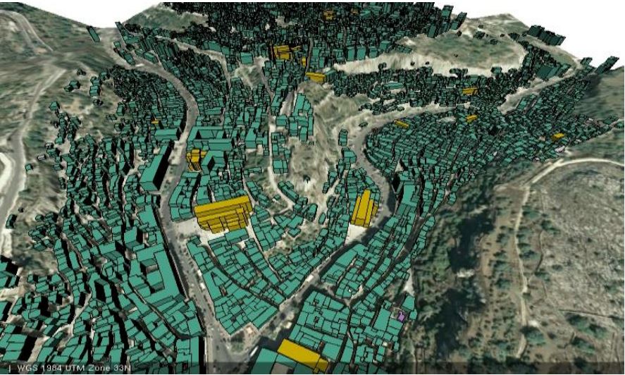
urban space and territory in all three dimensions. 3D modeling makes possible a more detailed representation of the urban
environment and land, extremely useful for monitoring, evaluation and simulation of predictive scenarios that are necessary for
territorial planning activities. In order to becoming more useful in the planning activities, the current vector cartography needs to be
further enhanced under the geometric aspect and especially under the semantic one. The integration of more advanced graphic and
semantic components is, in fact, the necessary condition to better describe the territory and to deeply analyze territorial
transformations. On the basis of the presented background, this work shows a part of the activities carried out for the implementation
of a geospatial database model specifically oriented to urban planning, which takes the stage from a 3D geographic data model
developed in recent years at the GISLab. Some geometric and semantic components of the data model are described together with the
possibility of his construction starting from a 2D o 2,5D model. The defined model can be transferred and applied to any context of
urban and regional planning, as well as to contribute to the current international debate.
Downloads
Downloads
Published
How to Cite
Issue
Section
License

This work is licensed under a Creative Commons Attribution-ShareAlike 4.0 International License.

