The GIS of “Cyclops Islands” marine protected area as a tool for environmental accounting
Keywords:
marine protected areas, visual census, environmental protection, environmental economyAbstract
Marine Protected Areas (MPAs) represent marine areas to be safeguarded and protected for biodiversity and landscape value. In
particular, Cyclops Islands MPA, to which the work presented in this paper is referred to, is located in the eastern Sicily, in the part
of the sea in front of Acitrezza (that is a few kilometres north of the city of Catania) and it is known for its natural beauty so that
numerous scientific activities were conducted in the last years to evaluate the environmental quality of the area. The Environment
Ministry has started a project of "Environmental Accounting in Italian MPAs", which plans to quantify the value, from different
points of view such as economic and environmental, of natural heritage present in marine protected areas. GIS (Geographic
Information System) software are valuable tools for accessing, mapping and comparing data, very useful for the project required by
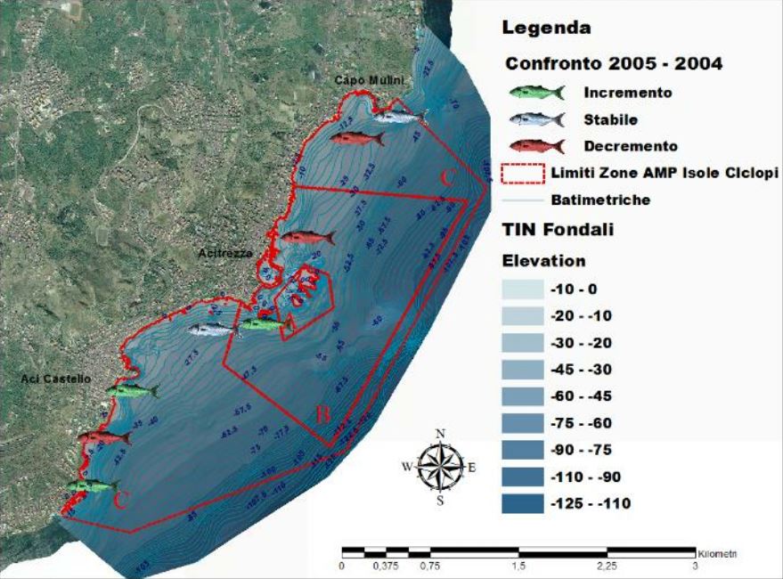
the Ministry. Therefore, the aim was to implement a Geographic Information System entering data relating to flora, fauna and
benthos acquired from many different scientific works related to the MPA Cyclops Islands, in order to compare the values detected
by underwater sampling performed in several years, in order to make a balance of the environmental quality of the marine area.
Downloads

Downloads
Published
How to Cite
Issue
Section
License

This work is licensed under a Creative Commons Attribution-ShareAlike 4.0 International License.


