Calculations for 20kV cable duct by means of the proper coordinates
Keywords:
Rectilinear coordinates, transformations, DATUM, cartography coordinates, deformations in cartographyAbstract
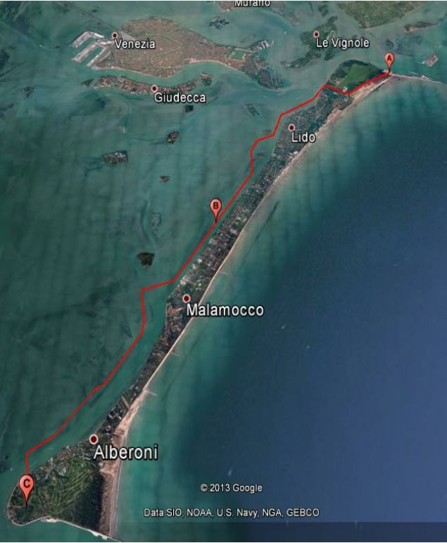
The paper comes from a Project-Work discussed at the end of an online course and deals with a professional case study: the
calculation of both distances and "rectilinear coordinates" of some points at the interconnection of Lido and Malamocco by means of
a 20kV cable duct within the MOSE Project for the protection of the Venice Lagoon.
Downloads
Download data is not yet available.
Downloads
Published
2015-05-28
How to Cite
[1]
Cezza, M. 2015. Calculations for 20kV cable duct by means of the proper coordinates. Bollettino della società italiana di fotogrammetria e topografia. 3 (May 2015), 27–30.
Issue
Section
Professional
License

This work is licensed under a Creative Commons Attribution-ShareAlike 4.0 International License.

