MobileMap: geographic Open Data of provinces of Trapani, Agrigento and Enna on smartphone
Keywords:
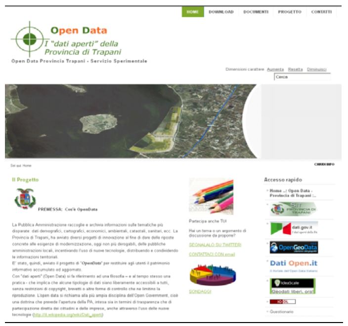
Open Data, OpenLayers, Android, Open GovernmentAbstract
This research provided software and datasets of GIS, in open license, for in situ consultation institutional maps on mobile devices
and smartphones, with GPS and internet connection.
We developed three apps for Android devices, MobileMap Trapani, MobileMap Agrigento and MobileMap Enna, which allow
consultation of open cartographic services of governmental institutions involved.
The project had the following results: pre-processing of spatial data from different sources and datum, appropriately transformed GIS
READY for use between SITR nodes (Regional GIS nodes) involved; publication of cartographic web services in OGC-WMS
format, optimized for use by mobile devices; creation of an app for viewing services on smartphone or tablet devices. Alongside a
traditional “geoportal” for consultation by desktop PC.
Web apps allows consultation of published services and supports data and geo-referenced queries feature on maps by using open
source libraries and scripting. Has been used OpenLayers framework, implemented in JavaScript language and released under the
open license called 2-clause BSD.
All apps has been distributed free on the main app stores and also through the channels of institutional ad, via QR code.
We achieved the following objectives: greater sharing and use of spatial data, greater participation of institutions in the context of
geo-tourism and institutional framework and, finally, implementation of an augmented territory that unites professionals, tourists,
citizens and businesses.
Downloads
Downloads
Published
How to Cite
Issue
Section
License

This work is licensed under a Creative Commons Attribution-ShareAlike 4.0 International License.

