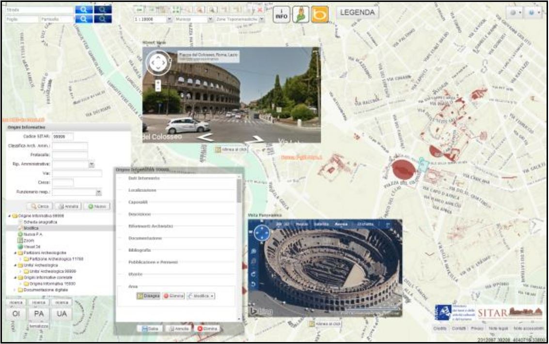
SITAR - Archaeological Territorial Information System of Rome: processes, methods, tools and contents for archaeological territorial information on the web
Keywords:
GIS, SDI, Public Archaeology, Knowledge management systems, Open Source, Open Dataset, Cultural Heritage of RomeAbstract
Since 2008 the SITAR Project is being implemented and self-funded by the Special Superintendence for the Colosseum, the
National Archaeological Museum and the Archaeological Heritage of Rome, in order to realize and maintain the first Digital
Archaeological Cadastre of the metropolitan territory of Rome, and to better address the scientific archive digitalization, the
enhancement of their via-web accessibility and the promotion of new collaborative forms of creation, sharing and recombination of
knowledge, through the engagement and active participation of different publics.
Archive data treated and translated in new public datasets are therefore being valued by means of the SITAR web platform, also
thanks to a continous development of the dedicated digital infrastrucuture and technological open source and 2.0/3.0 web-oriented
solutions, representing a persistent paradigm within the evolution path of the SITAR.
In the underlying vision, local government bodies and public administrations are seen as integrated parts of the institutional and
operational network, and therefore they are called to integrate the SITAR datasets in its own SDI and GIS systems, also on behalf of
the shared urban and regional planning, through specific initiatives of institutional cooperation.
In light of these premises, some of deeper reflections traced within SITAR Project are strongly oriented towards legal aspects related
to the production of the new public datasets based on archive informations, their publication and uses in multiple forms and
modalities (Open Data, Linked Open Data, web services OGC compliant, etc.), ever with respect to the growing variety of users and
informational needs.
Downloads

Downloads
Published
How to Cite
Issue
Section
License

This work is licensed under a Creative Commons Attribution-ShareAlike 4.0 International License.


