Application of logistic regression for landslide susceptibility zoning in GIS environment
Keywords:
Landslide susceptibility zoning, statistical methods, GIS GRASSAbstract
Over the past few decades different procedures have been developed to perform analysis of landslide susceptibility, at different
scales, and based on different approaches. The most common methods are heuristic and statistical ones. The present research aims to
investigate the use of GIS-based bivariate and multivariate statistical analysis for susceptibility zoning. The influence of different
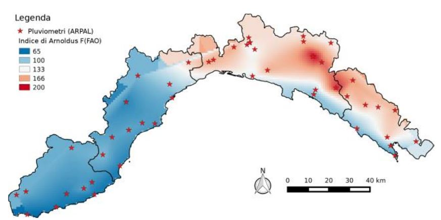
factors (morphology and geo-lithology of the territory, but also anthropic development, vegetation cover and climate) on the
occurrence and triggering of slides and flows have been analyzed. In addition, a critical review of the choice of the calibration area
by extension and morphological, climatic and anthropogenic characteristics has been performed. The application to the Ligurian
territory has highlighted the usefulness of the method for analyzing large areas, quickly and with relatively limited resources. Some
critical issues raised, as well as the importance of bivariate analysis of each individual factor prior to assess the statistical distribution
and the real influence on the occurrence of landslides in the study area, in order to obtain a correct zoning through the next
multivariate statistical analysis.
Downloads
Downloads
Published
How to Cite
Issue
Section
License

This work is licensed under a Creative Commons Attribution-ShareAlike 4.0 International License.

