Photogrammetric experiences from UAV for volume estimation
Keywords:
UAV, Photogrammetry, DSM, Volume estimate, Image analysis, Computer VisionAbstract
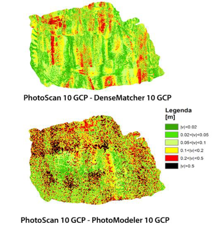
The use of UAVs (Unmanned Aerial Vehicles) is growing for environmental monitoring and emergency managing (floods, earthquakes and so on). These vehicles can be useful in the forensic geomatics as well. In fact, they allow almost completely automatic periodic inspections of the volumes of materials (gravel, sand, etc.) extracted. UAVs turn out to be a helpful instrument for identifying both the exploitation of quarries without permission and the extractions of quantities of materials larger than the ones allow by law. Side by side to the wide variety of UAV types, there is an equally wide range of software to generate DSMs and orthophotos, mainly in an automatic way. These packages are partly produced by companies, which have been operating for long time in photogrammetry and partly are produced by academic start-up companies, sometimes coming from the photogrammetric field but more often from Computer Vision (CV) community. In this work, different procedures for computing the material volume from UAV imagery were performed. The results obtained from several software packages are presented in order to identify the most efficient procedures in terms of processing time and achievable accuracies. The influence of different GCP (Ground Control Points) configurations is discussed too.
Downloads

Downloads
Published
How to Cite
Issue
Section
License

This work is licensed under a Creative Commons Attribution-ShareAlike 4.0 International License.


