First experiences for the construction of an HGIS platform of the city of Parma
Keywords:
Historical cadastres, Sardi Atlas, GIS, georeferencing, ParmaAbstract
The present article describes the work carried out for the realization of a Historical Geographic Information System (HGIS) of the city of Parma, based on different historical periods. The aim of the research is to provide a tool which allows analysing the city in many ways, not only related to urban structure, and could aid historical research on the city within different disciplines. In fact, the observation of the structure of the city, its transformations and inhabitants that live in it, can provide an idea of society as well as architecture or urban structure. From this point of view, cadastral data are very important because they allow the association between cartographic features and information about individual parcels and their owners.
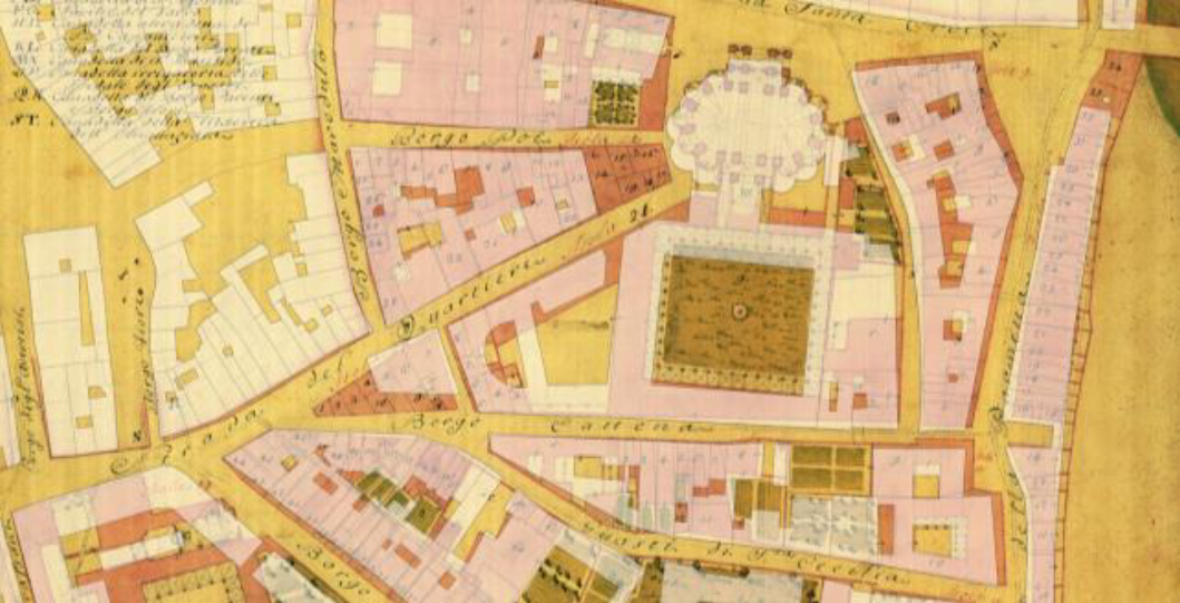
According to the great importance of the city in historical investigations, a research project was started which is based on computerization and integration in a geographic information system of several cadastral information. Four historical periods were identified which correspond to the main cadastres of the city: the Sardi Atlas of 1767, the Bourbon Cadastre of 1853, the Cadastre of the beginning of the 20th Century and the Cadastre of 1940. In the Parma HGIS project, in the future, we expect to enter further data drawn from censuses and other archival documents of the city.
At present, the work mainly involves the Sardi Atlas, which can be considered as the first parcel-geometric cadastre of Parma. This paper aims to summarize the work done so far with regard to the digitalization of the Atlas, with particular reference to map georeferencing, their conversion in a vector format and association between maps and all land registers textual data.
Downloads

Downloads
Published
How to Cite
Issue
Section
License

This work is licensed under a Creative Commons Attribution-ShareAlike 4.0 International License.


