Border location in some judicial disputes
Keywords:
Cadastre, borders, cartography, geomatic, surveyAbstract
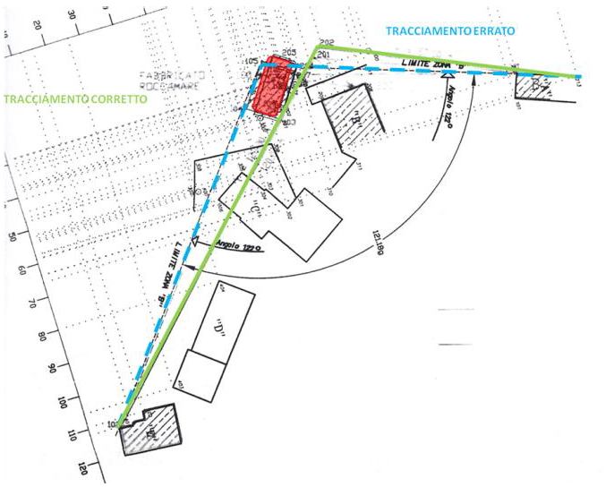
This article presents some experiences of borders determination. From the assumption of "no-probativeness" of the cadastral map some interpretations give rise to several disputes; some of these cases are solved in a simple and direct way, others require a careful and thorough analysis. A reform of the digital and numerical representation of property titles is necessary, especially in light of the recent regulations that refers to automatic updates. It is even more pressing due to the necessity of realize the principle: “pay everyone to undercharge all” .
Downloads

Downloads
Published
How to Cite
Issue
Section
License

This work is licensed under a Creative Commons Attribution-ShareAlike 4.0 International License.


