Tests of kinematic GPS positioning in urban area
Keywords:
GNSS, Ground Penetrating Radar, Kinematic Positioning, urban canyonsAbstract
In urban areas one can find the main part of underground utility infrastructures, whose geometry and position are not often known with precision sufficient for a new dig. In order to provide a correct three-dimensional representation of buried objects using Ground Penetrating Radar, it is necessary to georeference it with a horizontal accuracy of 20-40 centimeters. The authors recently proposed to solve the problem of positioning a vehicle that hauls the GPR antenna, with an inverse photogrammetric approach, that uses information extracted from large scale maps; this can be very handy where the GPS positioning is not possible or does not reach the required accuracy. However, some GPS points are still useful (and sometimes necessary) to constrain the photogrammetric block, but they must fulfill requirements of quality and reliability to ensure a right photogrammetric estimation.
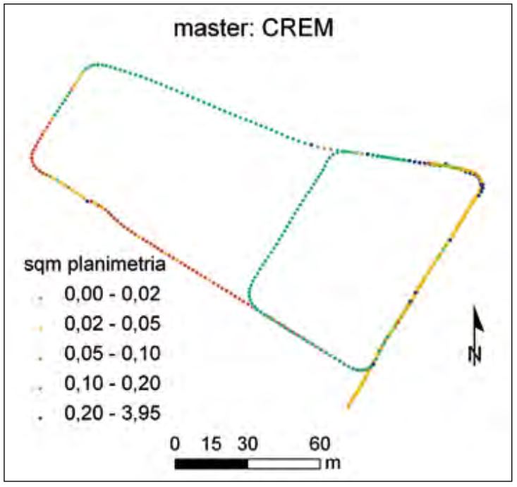
In this article GNSS-only positioning results, obtained during some kinematic tests, are presented. These tests have been performed in some residential blocks of the city of Cremona. The site choice was due to the presence of low buildings that could allow GPS signal reception, even in urban environment. In particular, the article focuses on the solutions obtained using two different instruments and on the differentiation of the data with respect to different permanent station (both “virtual” and “physical”), in order to define how to identify those solutions suitable to the georadar requirements.
Downloads

Downloads
Published
How to Cite
Issue
Section
License

This work is licensed under a Creative Commons Attribution-ShareAlike 4.0 International License.


