The new national geodetic reference system: present situation and prospects for the future
Keywords:
RDN, ETRF2000, ETRF89, DCPM November 10, 2011, Monitoring of geodetic reference system, ITRF2008, GPS week 1632Abstract
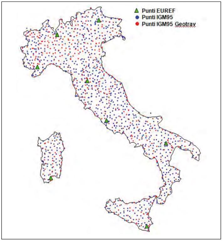
The simultaneous use of several geodetic reference systems makes difficult the exchange of geographic information among the entities that deal with national land management. Historically in Italy three local systems were in use: Bessel oriented in Genova, ROMA40 and ED50, and the the global system ETRS89 (frame ETRF89) adopted in 1996 in order to allow the use of GPS technology in our country. The ETRF89 frameís materialization was achieved by the establishment of the IGM95 network, a modern network consisting in 1200 points, with positions at the 5 cm precision. A few years later such precision became inadequate with respect to the modern GPS survey methods. It was therefore necessary to update the realization of the reference system’s adopting the ETRF2000 frame which is characterized by better accuracy and materialized by a network of GPS permanent stations known as Dynamic National Network (RDN). The horizontal accuracy of the new network is approximately 1 cm and the vertical accuracy is approximately 1.5 cm; these characteristics are sufficient to validate the RDN as an European densification network of class”B”. The ETRF2000 has been officially adopted as national reference system through the Ministerial Decree in 11/10/2011, becoming mandatory for all public administrations. Currently the system is monitored through periodic recalculations of the RDN. Several problems were faced including the change of frames from IGS05 to IGS08 performed by IGS during the GPS week number 1632. During this change IGS released a new version of the antenna calibration file, called IGS08.atx. Downstream to a deep analysis an efficient monitoring strategy has been set up and should be effective starting from the end of this year.
Downloads
Downloads
Published
How to Cite
Issue
Section
License

This work is licensed under a Creative Commons Attribution-ShareAlike 4.0 International License.

