Experiences of filtering, classification, segmentation and modelling of spatial data from aerial laser scanning
Keywords:
laser scanning, filtering, modelling, segmentation, point cloudAbstract
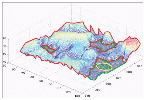
The paper describes the operative steps of an aerial laser scanning survey; among these, the initial procedures for acquisition and geo-referencing are briefly illustrated, while more attention is given to the filtering, classification, segmentation, and modelling phases. For these last topics, several fundamental aspects on the basis of experiences developed processing different kinds of laser data are reported. For every phase, the analytical models, the implemented algorithms and numerical experimentation realized by the research group of the University of Udine are described. This last activity is within the INTERREG IIIA Phare/CBC Italy-Slovenia project “Cadastral map updating and regional technical map integration for the Geographical Information Systems of regional agencies by testing advanced and innovative survey techniques” in cooperation with the Geodetski Institut Slovenije of Ljubljana.
Downloads
Downloads
Published
How to Cite
Issue
Section
License
Copyright (c) 2021 Fabio Crosilla, Dominico Visintini, Guido Prearo, Barbara Fico

This work is licensed under a Creative Commons Attribution-ShareAlike 4.0 International License.

