Il progetto up4dream droni per la realizzazione di cartografia nei paesi in via di sviluppo
The up4dream drones project for the creation of cartography in developing countries
Keywords:
Formazione, Capacity Building, Paesi in via di sviluppo, Fotogrammetria, UAV, Cooperazione internazionaleAbstract
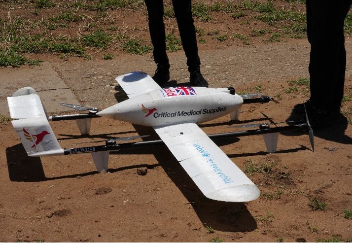
UP4DREAM (UAV Photogrammetry for Developing Resilience and Educational Activities in Malawi) is an international cooperation project co-financed by ISPRS (International Society for Photogrammetry and Remote Sensing) together with Politecnico di Torino and UNICEF (United Nations Children Fund) Malawi, with the support of two local universities (Lilongwe University of Agriculture and Natural Resources, and Mzuzu University) and Agisoft LLC. Malawi is a country particularly prone to floods, highly subject to natural and health risks, which prevent its socio-economic development in a sustainable way. There are frequent natural events that have affected the food supply of various communities. Malawi itself also suffers from one of the highest rates of HIV, as well as endemic malaria. The UP4DREAM project had as its objective the creation of capacity-building initiatives, and the development of skills in the field related to the methods and techniques of Geomatics, in line with other projects related to the creation of cartography already active in developing countries. The UP4DREAM project has as its main objective the dissemination of skills related to photogrammetric techniques (from acquisition to data management) and the use of GNSS systems (Global Navigation Satellite System) for field measurement. The data were not only acquired and processed / georeferenced, but also implemented in a spatial geodatabase. These activities were carried out on the corridor dedicated to humanitarian operations that UNICEF opened in 2017, involving local institutions, universities, service companies and humanitarian organizations operating on the territory of Malawi using UAV technology.
Downloads
Downloads
Published
How to Cite
Issue
Section
License
Copyright (c) 2022 Alessio Calantropio, Filiberto Chiabrando, Jessica Comino, Andrea Lingua, Paolo Maschio, Tautvydas Juskauskas (Autore)

This work is licensed under a Creative Commons Attribution-ShareAlike 4.0 International License.

